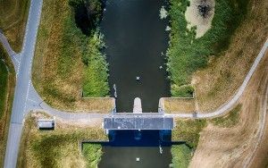
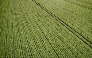
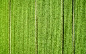
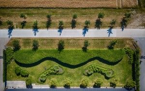
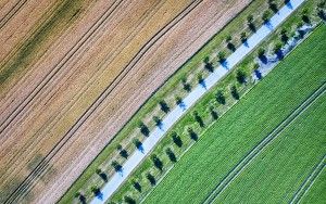
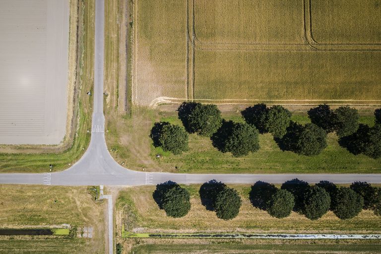
Which way to go?

Which way to go?

Tuesday July 3, 2018

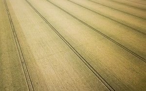
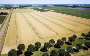
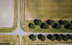
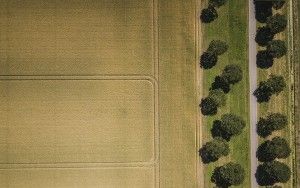
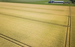
A junction in the farmland area of the 'polder' between Almere and Zeewolde, as seen from my drone, while flying over a wheat field.

This photo was also posted on Instagram

  • Camera:DJI Mavic Pro Platinum
  • Aperture:f/2.2
  • Shutter speed:1/10 second(s)
  • Focal length:5 mm
  • ISO:100
52.317440805556 5.3458202222222
Menu
 

More photos from this event

Field of wheat from my droneWheat field from my droneWhich way to go?Patterns from the skyWheat field from the skyRows of corn from my droneHoge Knarsluis from my droneBoating into the distanceHoge Knarsluis from my dronePotato field from my dronePotato field from my dronePatterns in the backyardPatterns everywhere from my droneWinding bicycle path from my drone