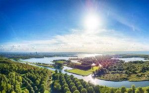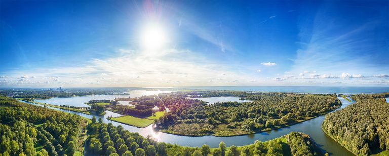
Panorama picture of a river junction
Saturday September 15, 2018
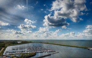
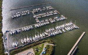
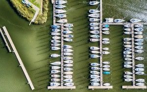
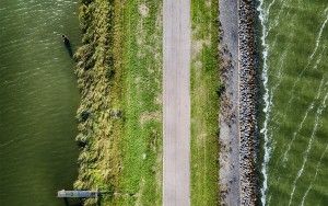
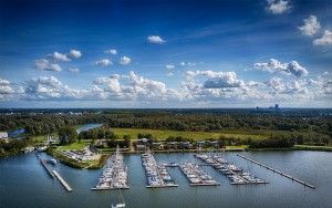
This drone panorama shows quite some water surrounding Almere. The two rivers running through Almere, the Hoge Vaart and the Lage Vaart split up at the junction on the right. At the top you can see lake Markermeer, which is actually higher than the land and water in Flevoland. On the left lake Noorderplassen.
This photo was also posted on Instagram
- Camera:DJI Mavic Pro Platinum
- Aperture:f/2.2
- Focal length:5 mm
- ISO:100
52.406179
5.2311028333333