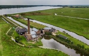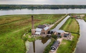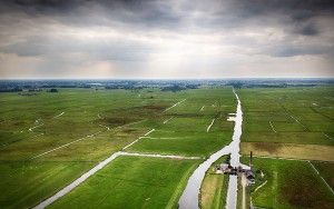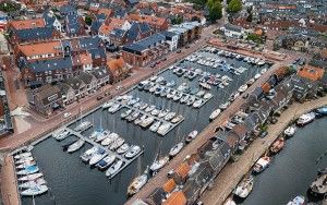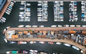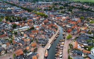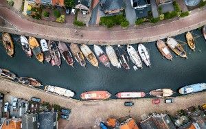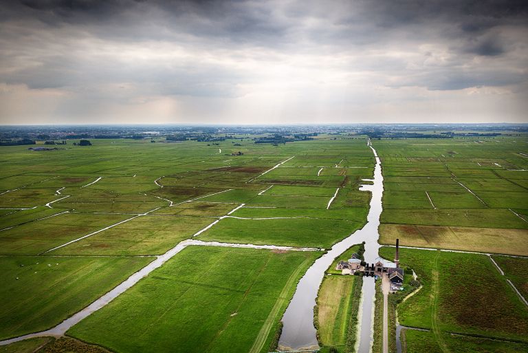
View of the 'polder' by drone
Tuesday August 28, 2018A typical Dutch view of the 'polder', an area with patches of land and a lot of small canals. Stoomgemaal Arkemheen, formerly known as Stoomgemaal Hertog Reijnout (built in 1863), was responsible for managing the water height, but has been replaced by an electrical version and is now a monument.
- Camera:DJI Mavic Pro Platinum
- Aperture:f/2.2
- Focal length:5 mm
- ISO:100
52.253568833333
5.4388313333333